Search data © OpenStreetMap ·
Data licences

OpenStreetMap data is available under the Open Database Licence.

Postcode data contains Ordnance Survey data © Crown copyright and database right 2025; Royal Mail data © Royal Mail copyright and database right 2025; National Statistics data © Crown copyright and database right 2025; NRS data © Crown copyright and database right 2025. Postcode data licences.

Destination boundaries: Office for National Statistics and © Natural England; contains Ordnance Survey data © Crown copyright and database right. Open Government Licence v3. Paphos municipality: © OpenStreetMap contributors, Open Database Licence.

79 places in Dartmoor Road Alerts
Explore destinationsUnited Kingdom

Showing 30 of 79 places

Upper Plym Valley
Historic site
Photo: Richard Knights
Creator: Richard Knights Source: Wikimedia Commons Richard Knights · CC BY-SA 2.0 · Wikimedia Commons Source CC BY-SA 2.0 Licence

Upper Plym Valley

Dartmoor

Upper Plym Valley is an archaeological landscape containing roughly 300 Bronze Age and medieval sites across about 15 square kilometres of Dartmoor. Settlement remains and field systems make this a place to explore on foot rather than a single monument.

Coverage not confirmed

Historic site

Merrivale Prehistoric Settlement

Yelverton

Merrivale brings a Bronze Age settlement and an intricate group of ritual monuments together in one Dartmoor landscape.

Varies by network
Grimspound
Historic site
Photo: Own Herby talk thyme
Creator: Own Herby talk thyme Source: Wikimedia Commons Own Herby talk thyme · CC BY-SA 4.0 · Wikimedia Commons Source CC BY-SA 4.0 Licence

Grimspound

Devon

Grimspound is a late-Bronze-Age settlement on Dartmoor enclosed by a massive stone boundary wall. The foundations of 24 round houses remain visible, making the village plan unusually clear on the ground.

Coverage not confirmed
Hembury, River Dart
Wild Swimming
Photo: Derek Harper
Creator: Derek Harper Source: Wikimedia Commons Derek Harper · CC BY-SA 2.0 · Wikimedia Commons Source CC BY-SA 2.0 Licence

Hembury, River Dart

Buckfastleigh, Devon

Hembury is a large natural swimming pool on the River Dart, stretching for more than 100 metres. Cascades bring faster water into the pool; access is on foot and jumping depths are unverified.

Varies by network
Double Waters, River Walkham and Tavy
Wild Swimming
Photo: Martin Bodman
Creator: Martin Bodman Source: Wikimedia Commons Martin Bodman · CC BY-SA 2.0 · Wikimedia Commons Source CC BY-SA 2.0 Licence

Double Waters, River Walkham and Tavy

River Walkham, Dartmoor

Double Waters is a secluded river swim in woodland at the meeting of the Rivers Walkham and Tavy on Dartmoor. The appeal is the natural wooded setting and the chance to swim where the two river channels come together, rather than a managed bathing facility.

Coverage not confirmed
Meldon Quarry
Wild Swimming
Photo: Derek Harper
Creator: Derek Harper Source: Wikimedia Commons Derek Harper · CC BY-SA 2.0 · Wikimedia Commons Source CC BY-SA 2.0 Licence

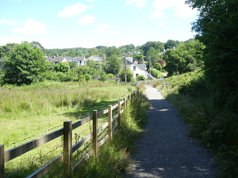
Meldon Quarry

Meldon, Dartmoor

Meldon Quarry is a flooded former quarry near Meldon on the northern edge of Dartmoor. Steep rock walls and open moorland surround the water, with a rope swing on the southern side.

Varies by network
Cullever Steps
Wild Swimming
Photo: Guy Wareham
Creator: Guy Wareham Source: Wikimedia Commons Guy Wareham · CC BY-SA 2.0 · Wikimedia Commons Source CC BY-SA 2.0 Licence

Cullever Steps

Okehampton

At Cullever Steps, waterfalls feed natural swimming pools near Okehampton. Falls and plunge pools give the spot its character. The setting includes a river valley.

Coverage not confirmed
Shilley Pool
Wild Swimming
Photo: Guy Wareham
Creator: Guy Wareham Source: Wikimedia Commons Guy Wareham · CC BY-SA 2.0 · Wikimedia Commons Source CC BY-SA 2.0 Licence

Shilley Pool

South Zeal

Shilley Pool offers open-water swimming near South Zeal. Cascades bring faster water through the swim. The water has shallower, shelving edges. Parking or a roadside start is available nearby; check current arrangements before travelling.

Coverage not confirmed
Salmon Leaps, Teign
Wild Swimming
Photo: Ian Medcalf
Creator: Ian Medcalf Source: Wikimedia Commons Ian Medcalf · CC BY-SA 2.0 · Wikimedia Commons Source CC BY-SA 2.0 Licence

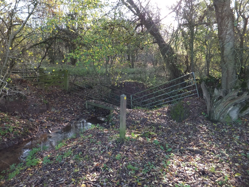
Salmon Leaps, Teign

Whiddon Down, Devon

At Salmon Leaps, Teign, the river offers a place for open-water swimming near Whiddon Down, Devon. Cascades bring faster water through the swim. Keep well clear of the weir.

Coverage not confirmed
Wellsfoot Island
Wild Swimming
Photo: don cload
Creator: don cload Source: Wikimedia Commons don cload · CC BY-SA 2.0 · Wikimedia Commons Source CC BY-SA 2.0 Licence

Wellsfoot Island

Ashburton

Wellsfoot Island offers open-water swimming near Ashburton. There is a sandy entry or shore. The pool includes deeper water for swimming. The setting includes island views and rocky banks and cliffs.

Varies by network
Beach
Spitchwick Common
Wild Swimming
Photo: David Smith
Creator: David Smith Source: Wikimedia Commons David Smith · CC BY-SA 2.0 · Wikimedia Commons Source CC BY-SA 2.0 Licence

Spitchwick Common

Dartmoor, Devon

Spitchwick Common is a popular River Dart swim on the edge of Dartmoor, also known as Deeper Marsh. Grassy banks lead to a rocky shore and peaty, moorland-fed water that becomes deeper towards the far side.

Coverage not confirmed
Beach
Piddletown Common Walk
Walking trail
Photo: Mr Eugene Birchall
Creator: Mr Eugene Birchall Source: Wikimedia Commons Mr Eugene Birchall / Castle Drogo, Devon - geograph.org.uk - 2649581 / CC BY-SA 2.0 / Wikimedia Commons / Geograph / display-size copy Source CC BY-SA 2.0 Licence

Piddletown Common Walk

Dartmoor — Castle Drogo / Drewsteignton

A short but rougher Castle Drogo route onto Piddletown Common.

Coverage not confirmed
Walks
Okehampton Military Ring Road Miles Without Stiles
Walking trail
Photo: Guy Wareham
Creator: Guy Wareham Source: Wikimedia Commons Guy Wareham / East Mill Tor O.P. 10 (S) - geograph.org.uk - 2127302 / CC BY-SA 2.0 / Wikimedia Commons / Geograph / display-size copy Source CC BY-SA 2.0 Licence

Okehampton Military Ring Road Miles Without Stiles

Dartmoor — Okehampton Range

A long, exposed accessibility-graded circuit around East Mill Tor on the military ring road.

Coverage not confirmed
Walks
Lydford Gorge Waterfall Trail
Walking trail
Photo: john spivey
Creator: john spivey Source: Wikimedia Commons john spivey / White Lady Waterfall in Lydford Gorge - geograph.org.uk - 31219 / CC BY-SA 2.0 via Wikimedia Commons Source CC BY-SA 2.0 Licence

Lydford Gorge Waterfall Trail

Dartmoor National Park — Lydford

Ancient gorge woodland leading to the 30 m Whitelady Waterfall on the current safe trail.

Coverage not confirmed
Walks
Lydford Gorge Devil's Cauldron Trail
Walking trail
Photo: Chris Allen
Creator: Chris Allen Source: Wikimedia Commons Chris Allen / Lydford Gorge - Devil's Cauldron - geograph.org.uk - 8162139 / CC BY-SA 2.0 via Wikimedia Commons Source CC BY-SA 2.0 Licence

Lydford Gorge Devil's Cauldron Trail

Dartmoor National Park — Lydford

A short but intense gorge walk to the roaring Devil's Cauldron pothole and viewing platform.

Coverage not confirmed
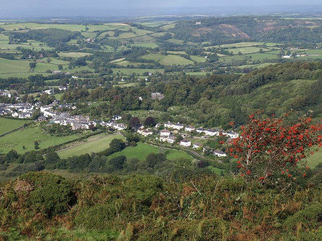
Walks
High Willhays & Yes Tor Circular
Walking trail
Photo: StephenDawson
Creator: StephenDawson Source: Wikimedia Commons StephenDawson / High Willhays / CC BY-SA 2.0 via Wikimedia Commons Source CC BY-SA 2.0 Licence

High Willhays & Yes Tor Circular

Dartmoor National Park — North Dartmoor

Devon's headline summit walk, linking Yes Tor with High Willhays on exposed north Dartmoor.

Coverage not confirmed
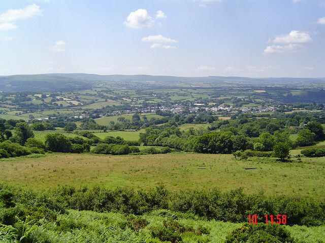
Walks
Wray Valley Trail
Walking trail
Photo: David Smith
Creator: David Smith Source: Wikimedia Commons David Smith / Wray Valley Trail approaching Lustleigh - geograph.org.uk - 6933015.jpg / CC BY-SA 2.0 via Wikimedia Commons Source CC BY-SA 2.0 Licence

Wray Valley Trail

East Dartmoor — Bovey Tracey to Moretonhampstead

A mainly traffic-free former-railway trail linking Bovey Tracey, Lustleigh and Moretonhampstead.

Varies by network
Walks
Templer Way
Walking trail
Photo: Rob Purvis
Creator: Rob Purvis Source: Wikimedia Commons Rob Purvis / Haytor quarry - geograph.org.uk - 2468057 / CC BY-SA 2.0 via Wikimedia Commons Source CC BY-SA 2.0 Licence

Templer Way

Dartmoor / Teignbridge — Haytor to Teignmouth

Historic granite-transport route from Haytor via tramway, canal and estuary to Teignmouth.

Varies by network
Walks
Two Moors Way — Drewsteignton to Morchard Bishop
Walking trail
Photo: David Smith
Creator: David Smith Source: Wikimedia Commons David Smith / Footbridge for Two Moors Way - geograph.org.uk - 2695832.jpg / CC BY-SA 2.0 via Wikimedia Commons Source CC BY-SA 2.0 Licence

Two Moors Way — Drewsteignton to Morchard Bishop

Two Moors Way / Devon Coast-to-Coast

A long, quiet Mid Devon crossing through fields and woodland to Morchard Bishop.

Coverage not confirmed
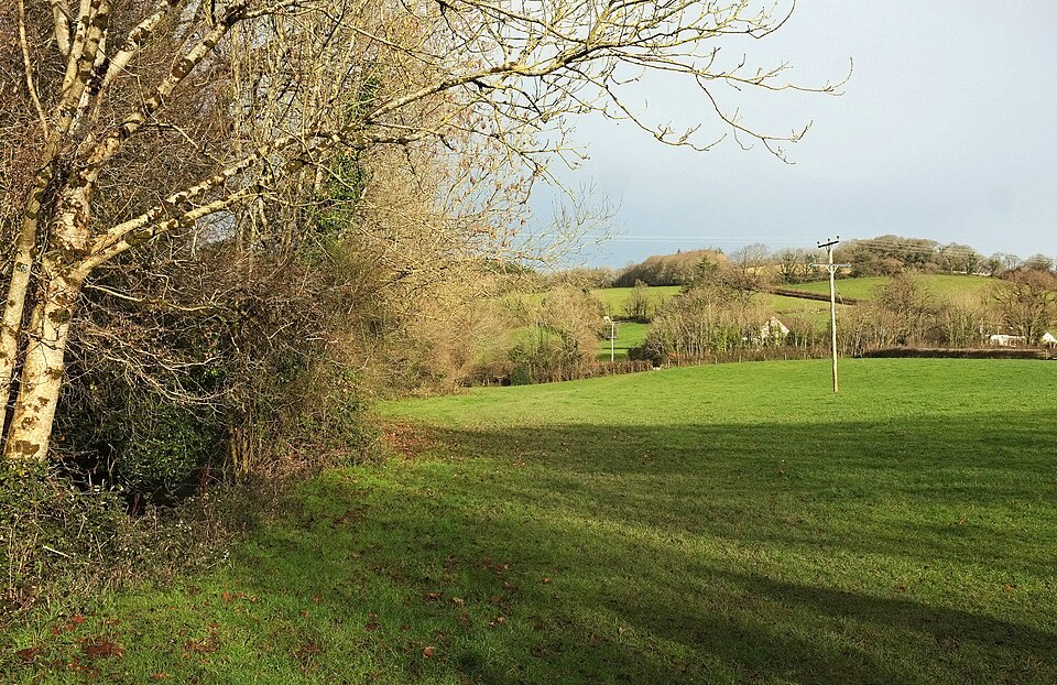
Walks
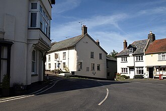
Two Moors Way — Chagford to Drewsteignton
Walking trail
Photo: Derek Harper
Creator: Derek Harper Source: Wikimedia Commons Derek Harper / Village square, Drewsteignton - geograph.org.uk - 1502632 / CC BY-SA 2.0 / Wikimedia Commons / Geograph / display-size copy Source CC BY-SA 2.0 Licence

Two Moors Way — Chagford to Drewsteignton

Two Moors Way / Devon Coast-to-Coast

A short, easier Two Moors Way stage along the Teign towards the Castle Drogo gorge.

Coverage not confirmed
Walks
Two Moors Way — Hameldown to Chagford
Walking trail
Photo: Fiona Avis
Creator: Fiona Avis Source: Wikimedia Commons Fiona Avis / Hameldown Tor - Dartmoor - geograph.org.uk - 75743 / CC BY-SA 2.0 via Wikimedia Commons Source CC BY-SA 2.0 Licence

Two Moors Way — Hameldown to Chagford

Two Moors Way / Devon Coast-to-Coast

High Dartmoor walking past Grimspound and Hurston Ridge towards Chagford.

Coverage not confirmed
Walks
Two Moors Way — Holne to Hameldown
Walking trail
Photo: Tony Atkin
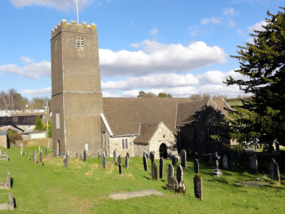
Creator: Tony Atkin Source: Wikimedia Commons Tony Atkin / Holne Church - geograph.org.uk - 3913034 / CC BY-SA 2.0 / Wikimedia Commons / Geograph / display-size copy Source CC BY-SA 2.0 Licence

Two Moors Way — Holne to Hameldown

Two Moors Way / Devon Coast-to-Coast

A Dart valley section via New Bridge and Dr Blackall's Drive towards Hameldown.

Varies by network
Walks
Dartmoor Way High Moor Link — Hexworthy to Tavistock
Walking trail
Photo: Dani
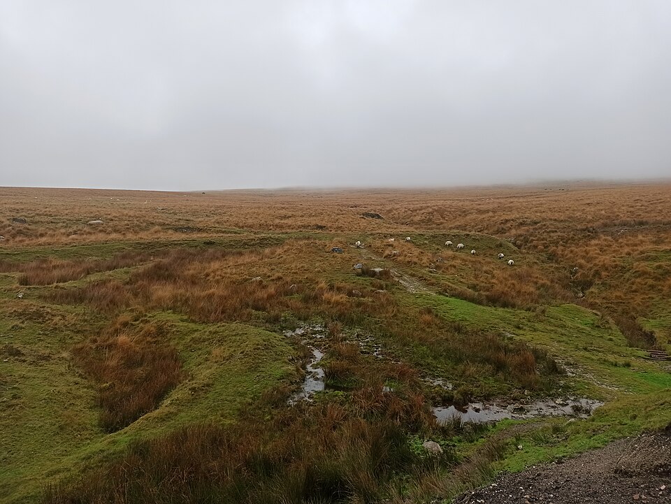
Creator: Dani Source: Wikimedia Commons Dani / Dartmoor Way-High Moor Link - geograph.org.uk - 7732501 / CC BY-SA 2.0 / Wikimedia Commons / Geograph / display-size copy Source CC BY-SA 2.0 Licence

Dartmoor Way High Moor Link — Hexworthy to Tavistock

Dartmoor Way — Devon

Cross the remote Swincombe valley to Princetown, then follow the old railway across open moor towards Tavistock.

Varies by network
Walks
Dartmoor Way Stage 8 — Lydford to Tavistock
Walking trail
Photo: Steinsky
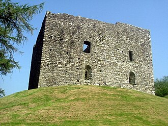
Creator: Steinsky Source: Wikimedia Commons Steinsky / 050715 140 lydford castle / CC BY-SA 1.0 / Wikimedia Commons / display-size copy Source CC BY-SA 1.0 Licence

Dartmoor Way Stage 8 — Lydford to Tavistock

Dartmoor Way — Devon

Open moor-edge paths below Gibbet Hill bring views of Brentor before the route continues south to Tavistock.

Coverage not confirmed
Walks
Dartmoor Way Stage 6 — Chagford to Okehampton
Walking trail
Photo: Derek Harper
Creator: Derek Harper Source: Wikimedia Commons Derek Harper / Chagford from Meldon Hill - geograph.org.uk - 1479104 / CC BY-SA 2.0 / Wikimedia Commons / Geograph / display-size copy Source CC BY-SA 2.0 Licence

Dartmoor Way Stage 6 — Chagford to Okehampton

Dartmoor Way — Devon

A moor-fringe journey through woodland and the villages of Throwleigh, South Zeal and Belstone on the way to Okehampton.

Coverage not confirmed
Walks
Dartmoor Way Stage 5 — Moretonhampstead to Chagford
Walking trail
Photo: Richard Knights
Creator: Richard Knights Source: Wikimedia Commons Richard Knights / Moretonhampstead - Devon - geograph.org.uk - 25522 / CC BY-SA 2.0 / Wikimedia Commons / Geograph / display-size copy Source CC BY-SA 2.0 Licence

Dartmoor Way Stage 5 — Moretonhampstead to Chagford

Dartmoor Way — Devon

Walk from Moretonhampstead over Cranbrook Down to Fingle Bridge, then follow the wooded Teign gorge and riverside meadows to Chagford.

Varies by network
Walks
Dartmoor Way Stage 3 — Ashburton to Bovey Tracey
Walking trail
Photo: Derek Harper
Creator: Derek Harper Source: Wikimedia Commons Derek Harper / Dartmoor Way approaching Cuddyford - geograph.org.uk - 6726256.jpg / CC BY-SA 2.0 via Wikimedia Commons Source CC BY-SA 2.0 Licence

Dartmoor Way Stage 3 — Ashburton to Bovey Tracey

Dartmoor Way — Devon

A varied walk from Ashburton over Haytor’s granite landscape, past old tramways and through Yarner Wood to Bovey Tracey.

Coverage not confirmed
Walks
Dartmoor Way Stage 2 — Shipley Bridge to Ashburton
Walking trail
Photo: Richard Knights
Creator: Richard Knights Source: Wikimedia Commons Richard Knights / Shipley Bridge - Dartmoor - geograph.org.uk - 15789 / CC BY-SA 2.0 via Wikimedia Commons Source CC BY-SA 2.0 Licence

Dartmoor Way Stage 2 — Shipley Bridge to Ashburton

Dartmoor Way — Devon

A lanes-and-fields walk through Buckfastleigh and the Buckfast Abbey landscape to the historic town of Ashburton.

Varies by network
Walks
Bellever Audio Walk
Walking trail
Photo: Fiona Avis
Creator: Fiona Avis Source: Wikimedia Commons Fiona Avis / Postbridge - Dartmoor - geograph.org.uk - 68660 / CC BY-SA 2.0 via Wikimedia Commons Source CC BY-SA 2.0 Licence

Bellever Audio Walk

Dartmoor — Postbridge / Bellever

A six-mile audio-guided circuit mixing Bellever woodland, open moor, river scenery and archaeology.

Varies by network
Walks
Fernworthy Reservoir Miles Without Stiles
Walking trail
Photo: Janine Forbes
Creator: Janine Forbes Source: Wikimedia Commons Janine Forbes / Fernworthy Reservoir - geograph.org.uk - 10808 / CC BY-SA 2.0 via Wikimedia Commons Source CC BY-SA 2.0 Licence

Fernworthy Reservoir Miles Without Stiles

Dartmoor — Fernworthy Reservoir

A short accessibility-focused route at Fernworthy Reservoir.

Coverage not confirmed
Walks
Events

When

Category

Filters

Search filters

Show

Fast picks

Filter & sort